How can a satellite image tell us whether an island has an accessible reef?
A reef you can reach from the beach is an extremely important feature of an island. It can make a big difference to the quality of your holiday. For many people, the underwater life of the Maldives is an even bigger attraction than the beaches. I am one of them, so having a reef accessible from the beach on the island where I stay is a top priority for me. This information is usually hard to find. For islands we know well, the situation is clear, but how do we find out about islands we have not visited?
In the Facebook group, I have described a method that is not completely foolproof, but so far I have not found a case where it gave the wrong answer to this question:
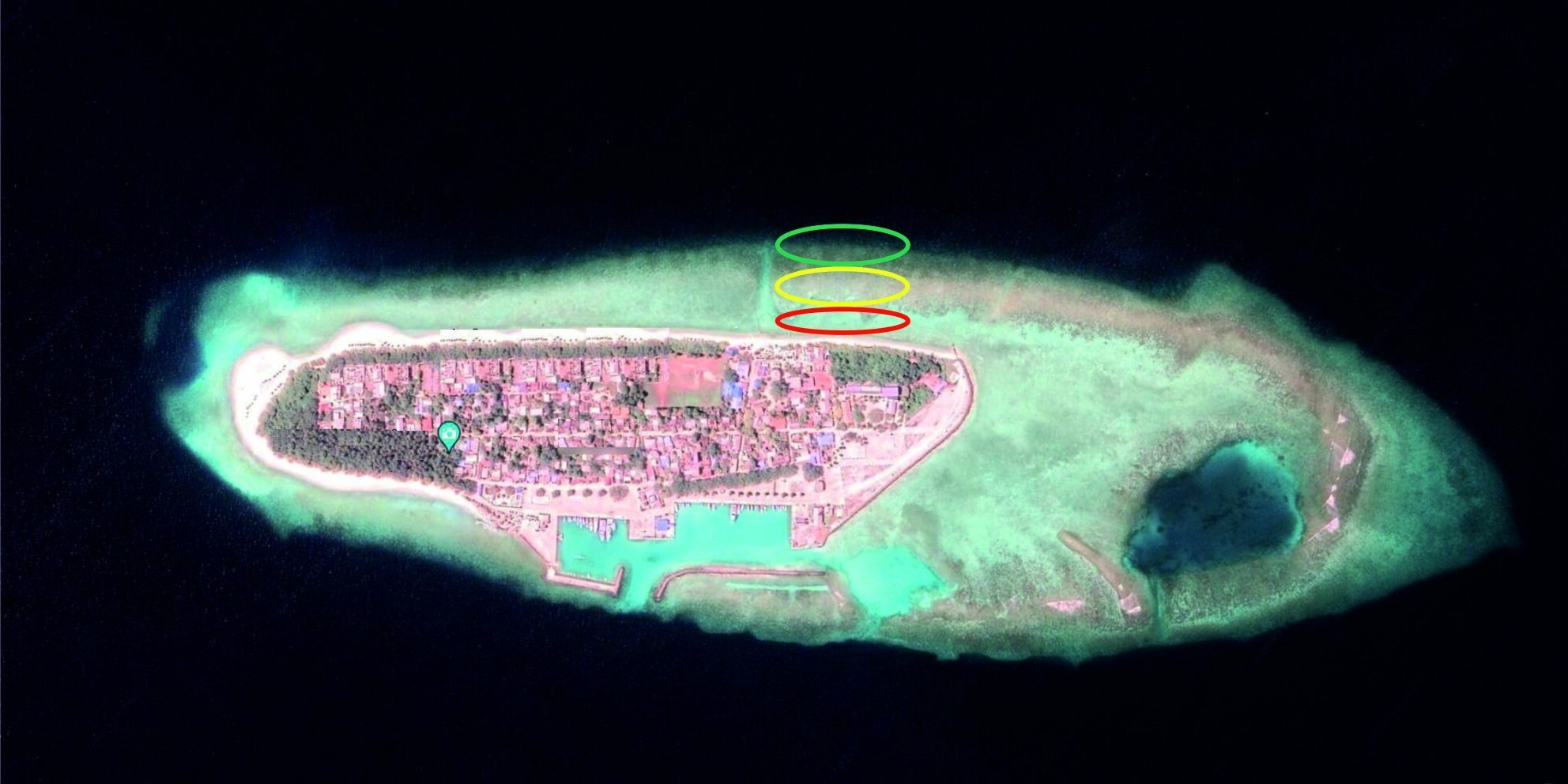
How can you tell from an island's satellite image whether it has an accessible house reef?